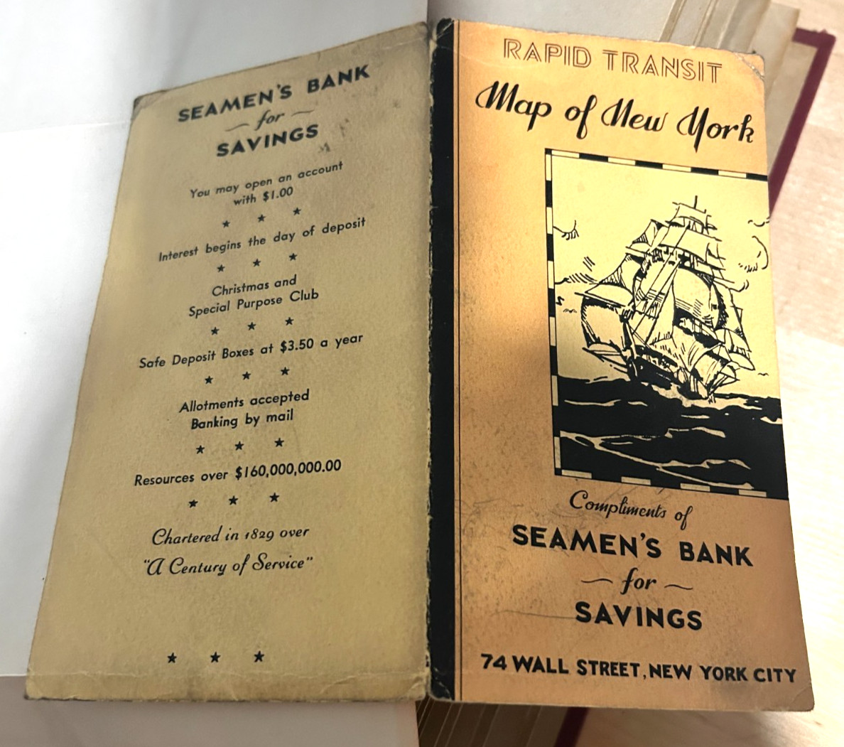
Vintage “Rapid Transit Map of Greater New York,” issued compliments of Seamen’s Bank for Savings, 74 Wall Street, New York City. Color folding map showing subway routes, elevated railway lines, stations, and the World’s Fair grounds in Queens. Includes a George J. Nostrand copyright credit and an illustrated sailing-ship cover with bank advertising. Estimated circa 1939–1940 based on the map’s features. No printed date has been found.
CONDITION: Map appears complete, with fold creases, light discoloration, and handwritten pencil notes on the reverse. Covers show edge and corner wear, pencil marks, and substantial wear along the central spine/fold. Please examine all photos for condition. Ships carefully protected and folded along existing folds.
The Rapid Transit Map of Greater New York was a popular promotional foldout map distributed by The Seamen’s Bank for Savings (located at 74 Wall Street, New York City) during the 1930s and 1940s in 1829

Related Items:

NYC Subway Train Lamp - 3D Printed Vintage New York Subway Train Night Light
$19.79
Vintage 1940's New York City - The Wonder City - Postcard Booklet - 20 Postcards
$30.00
Vintage NYC Subway Metrocards Lot Of 25 Used Average
$36.00