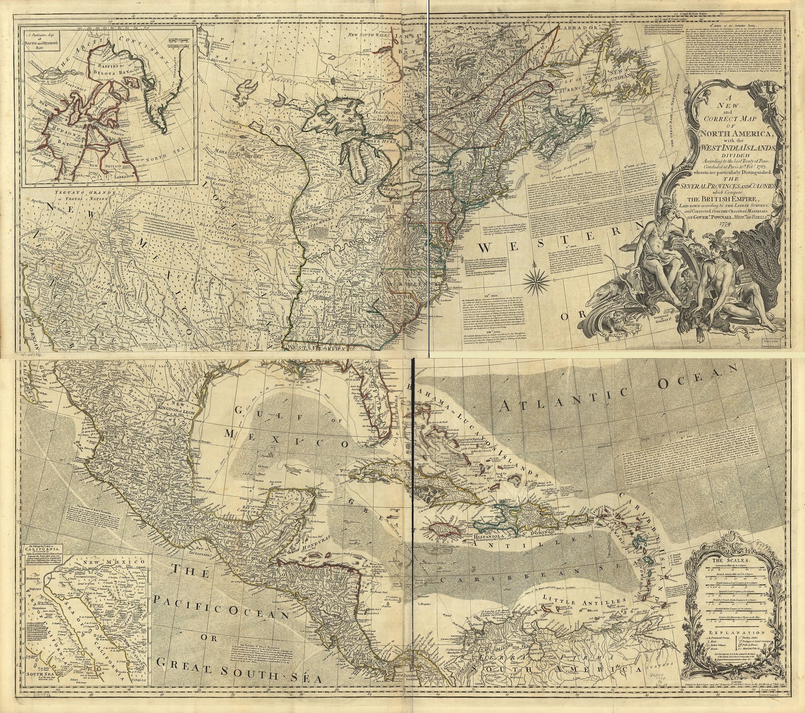
A striking historical cartographic map depicting North America, the British Empire territories, and the West Indies, rendered in classic period engraving style with hand-colored detail work. This authentic 1800s map shows the colonial boundaries, geographic features, and nautical routes of early American history, making it a treasured piece for history enthusiasts and collectors. Printed on premium glossy photo paper by Digital Canvas for vibrant color reproduction and lasting quality. Available in 4x6, 5x7, 8x10, and 11x14 prints, plus postcards and magnets. Buy 2 get 1 FREE with code DIGITALSAVINGS—shop Digital Canvas for hundreds of premium photo prints and wall art.

Related Items:
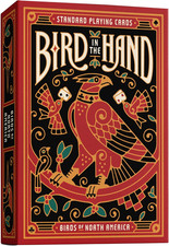
Bird in the Hand Themed Playing Cards | 54 Pieces of Birds of North America
$12.89
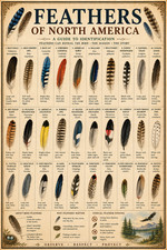
Feathers of North America Poster 13x19 – Vintage Bird Feather Identification
$19.99

BSAA North America Costume Cosplay Shoulder Patch Hook 3.75 X 4.0 Inch.
$7.61